South Asia Deep Dive: Geography, History, Conflict, and the New Climate Normal
This article offers a comprehensive deep dive into South Asia, exploring
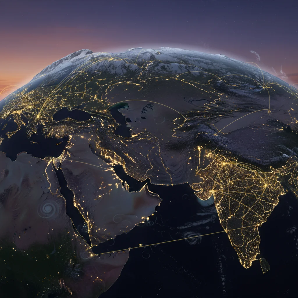
South Asia Deep Dive: Geography, History, Conflict, and the New Climate Normal
Analysis Date: April 2026
Introduction: Defining the Subcontinent – More Than a Map
South Asia occupies a unique position in global strategic analysis. Geographically, the region is defined by clear natural boundaries: the Hindu Kush, Karakoram, and Himalayan mountain ranges to the north, and the Indian Ocean to the south (Source: Encyclopaedia Britannica). This physical delineation creates a coherent landmass often termed the Indian subcontinent, comprising the Indo-Gangetic Plain and peninsular India.
However, political definitions diverge from geographic ones. The South Asian Association for Regional Cooperation (SAARC), established in 1985, includes Afghanistan, Bangladesh, Bhutan, India, Maldives, Nepal, Pakistan, and Sri Lanka. The Bay of Bengal Initiative for Multi-Sectoral Technical and Economic Cooperation (BIMSTEC), founded in 1997, adds Myanmar and Thailand while excluding Afghanistan, Pakistan, and the Maldives. This institutional fragmentation reflects the core tension defining modern South Asia: a region bound by physical geography yet divided by political history.
The central thesis of this analysis is that South Asia's physical geography—its mountain barriers, river systems, and monsoon patterns—has historically determined its patterns of invasion, settlement, and resource competition. Climate change is now fundamentally altering these geographic determinants, creating a "new climate normal" (Source: World Bank) that imposes novel constraints on the region's economic and political trajectory.
The Geological Stage: How Mountains and Monsoons Built a Civilization
Tectonic Foundations and River Systems
The Himalayas, the world's youngest mountain range, result from the ongoing collision of the Indian and Eurasian tectonic plates. This geological process, initiated approximately 50 million years ago, created not only the highest peaks on Earth but also the alluvial plains that sustain the region's agricultural base. The Indus, Ganges, and Brahmaputra rivers drain these mountains, depositing sediment across the Indo-Gangetic Plain—a 2,500-kilometer arc of fertile land stretching from Pakistan through northern India to Bangladesh.
South of this plain lies the Deccan Plateau, a stable Precambrian shield covering much of peninsular India and Sri Lanka. This geological division between the young, active northern mountains and the ancient, stable southern plateau has produced distinct economic and demographic zones: the densely populated, agriculturally productive river basins of the north versus the mineral-rich, drier plateau regions of the south.
The Monsoon Engine
The South Asian monsoon is a seasonal reversal of wind patterns driven by differential heating between the Indian Ocean and the Asian landmass. From May to September, moisture-laden winds from the southwest deliver approximately 80% of the region's annual rainfall (Source: World Bank). This system is the engine of South Asian agriculture—rice, wheat, and sugarcane cultivation depend on its timing and intensity.
The monsoon's predictability, however, is decreasing. Erratic rainfall patterns have contributed to concurrent floods and droughts across India and Pakistan. Himalayan regions including Ladakh and Himachal Pradesh have witnessed unprecedented intense rainfall events. The World Bank's characterization of a "new climate normal" describes a regime where statistical outliers become structural patterns.
The Indus Valley Precedent
The Indus Valley Civilization (2600–1900 BCE) provides the earliest documented case of urban society adapting to South Asia's river systems. Archaeological evidence reveals sophisticated drainage systems, grid-pattern cities (Mohenjo-daro, Harappa), and standardized weights and measures—engineering achievements that presuppose stable water management.
The civilization's decline, beginning around 1900 BCE, correlates with evidence of monsoon shifts that disrupted agricultural production. This historical precedent establishes a critical analytical framework: when South Asia's climatic systems change, its urban and agricultural infrastructure faces existential stress. Contemporary climate projections suggest a repeat of this pattern at a much larger scale.
A History Written in Conquest and Boundary Lines
Strategic Corridors: Khyber and the Indian Ocean
South Asia's history demonstrates a dual vector of external influence: overland invasion routes through the northwestern mountain passes (primarily the Khyber Pass) and maritime trade across the Indian Ocean. The Khyber Pass corridor, connecting the Iranian Plateau to the Indus Valley, facilitated the Aryan migrations (circa 1500 BCE), the Islamic sultanates (11th–16th centuries), and the Mughal conquest (16th century).
Simultaneously, Indian Ocean maritime routes connected South Asia to East Africa, the Arabian Peninsula, and Southeast Asia. These dual vectors remain strategically relevant: China's Belt and Road Initiative seeks to revive overland connectivity through Pakistan (China-Pakistan Economic Corridor) while China's naval presence in the Indian Ocean challenges India's maritime dominance.
Political Consolidation and Imperial Overlay
The Mauryan Empire (322–185 BCE) achieved the first political unification of most of the subcontinent, establishing administrative systems that subsequent empires—Gupta, Delhi Sultanate, Mughal—would refine. The Mughal Empire (1526–1857) reached its zenith under Akbar (1556–1605), with a centralized revenue system and religious pluralism that stabilized the region for nearly two centuries.
European colonial entry began with Portuguese arrival in 1498, followed by Dutch, French, and British competition. By the 18th century, the British East India Company had established commercial and military dominance, transitioning to direct Crown rule after the Rebellion of 1857.
The British Raj: Imposing Rigid Lines on Fluid Space
British colonial administration (1858–1947) imposed three structural changes that continue to shape regional conflict: first, the introduction of census-based religious categorization that hardened fluid identities into fixed communities; second, the creation of administrative boundaries that divided linguistic and cultural regions; and third, the establishment of the "Durand Line" (1893) separating British India from Afghanistan, and the "McMahon Line" (1914) demarcating the boundary with Tibet.
These colonial boundaries became the basis for post-independence disputes: the Kashmir conflict, the Durand Line dispute between Afghanistan and Pakistan, and the Sino-Indian border conflict trace directly to colonial cartography.
Modern Borders, Fractured Nations: The State of Conflict Today
Partition and the Kashmir Inheritance
The 1947 Partition of British India into India and Pakistan constituted one of the largest forced population transfers in history, with an estimated 10–15 million people displaced and 1–2 million killed. The princely state of Jammu and Kashmir, whose Hindu ruler chose accession to India despite a Muslim-majority population, became the territorial flashpoint for three wars (1947–48, 1965, 1999) and an ongoing insurgency.
Both India and Pakistan maintain nuclear arsenals, making the Kashmir dispute a nuclear flashpoint. Chinese territorial claims in Aksai Chin add a trilateral dimension to the conflict. No resolution mechanism exists within current institutional frameworks.
Demographic Pressures
South Asia contains approximately 1.9 billion people, with projections reaching 2.2 billion by 2050. India alone will surpass 1.5 billion by 2030, becoming the world's most populous nation (Source: World Bank). Demographic density concentrates in the river plains: Bangladesh, with 1,300 people per square kilometer, has one of the highest population densities globally.
This demographic weight creates compounding pressures: water demand from agriculture (70% of freshwater withdrawal), urbanization rates exceeding 2% annually, and youth unemployment averaging 15–20% across the region. Climate-induced displacement will add to these pressures, with the World Bank estimating 40 million climate migrants in South Asia by 2050.
Institutional Fragmentation: SAARC vs. BIMSTEC
The region's institutional architecture reflects its political fragmentation:
| Organization | Founded | Members | Scope | Performance |
|--------------|---------|---------|-------|-------------|
| SAARC | 1985 | 8 | South Asia | Largely paralyzed by India-Pakistan tensions |
| BIMSTEC | 1997 | 7 | Bay of Bengal connectivity | More functional, excludes Pakistan |
SAARC's dysfunction stems from its inclusion of India and Pakistan, whose bilateral conflicts prevent meaningful cooperation on trade, water sharing, and counterterrorism. BIMSTEC, by excluding Pakistan, has achieved greater operational success in connectivity projects, though its broader mandate remains aspirational.
Economic Structure and Climate Vulnerability
Sectoral Composition
South Asia's economy divides into three sectors: agriculture (15–20% of GDP, employing 40–50% of labor), manufacturing (20–25% of GDP), and services (55–65% of GDP). This structure creates a fundamental vulnerability: the sector employing the largest share of workers (agriculture) remains most exposed to climate variability, while the highest-value sector (services) concentrates in coastal cities vulnerable to sea-level rise.
India dominates regional GDP (approximately 80%), followed by Bangladesh and Pakistan. Intra-regional trade remains below 5% of total trade—one of the lowest rates globally—reflecting both political barriers and infrastructure deficits.
The New Climate Normal as Economic Risk
The World Bank's "new climate normal" framework identifies three primary risk vectors for South Asia:
- Hydrological extremes: Erratic monsoon patterns cause simultaneous flooding (2022 Pakistan floods, affecting 33 million people) and drought (2023 Indian agricultural losses in Maharashtra and Karnataka). Damages compound annually.
- Glacial retreat: Himalayan glaciers, which feed the Indus, Ganges, and Brahmaputra, are retreating at accelerated rates. Projections indicate 30–50% reduction in glacial volume by 2050, initially increasing flood risk from glacial lake outbursts, then reducing dry-season water availability.
- Coastal inundation: Sea-level rise of 0.5–1.0 meters by 2100 threatens Bangladesh's Ganges-Brahmaputra delta (where 160 million people live), India's Chennai and Mumbai, and the Maldives' entire landmass.
Regional Dynamics and External Powers
China's Penetration
China's Belt and Road Initiative has invested approximately $50 billion in South Asian infrastructure, concentrated in Pakistan (China-Pakistan Economic Corridor, $62 billion announced), Sri Lanka (Hambantota port), Bangladesh, and Nepal. These investments create debt dependencies and strategic leverage, particularly through the Indian Ocean "string of pearls" naval infrastructure.
India has responded with its own connectivity projects (North-South Transport Corridor, India-Myanmar-Thailand Highway) and by strengthening BIMSTEC as an alternative to SAARC. The resulting strategic competition replicates the historical dual-vector dynamic: overland (China through Pakistan) versus maritime (India's Indian Ocean dominance).
Future Trajectories: Structural Predictions
Based on current trends, three structural outcomes are projected for South Asia by 2040:
- Water wars will intensify but remain sub-nuclear: The Indus Water Treaty (1960) between India and Pakistan has survived three wars, but climate-induced flow reduction may exceed the treaty's adaptive capacity. Expect increased tensions without open conflict, given nuclear deterrence.
- Regional cooperation will shift to BIMSTEC: SAARC's paralysis is structural, not cyclical. BIMSTEC will become the primary multilateral vehicle for South Asian connectivity, particularly as Myanmar and Thailand provide access to Southeast Asian markets.
- Climate adaptation will become the primary fiscal challenge: South Asian governments will allocate increasing shares of GDP (estimated 3–5% by 2040) to climate adaptation: flood defenses, drought-resistant agriculture, and migration management. This will crowd out other development spending, slowing poverty reduction rates.
- Demographic dividends will narrow: As youth populations peak in India (2030) and Pakistan (2040), failure to generate sufficient employment will create social instability risks. Bangladesh, with its textile-based industrialization, provides the region's most successful employment model.
The South Asian subcontinent, defined by its mountains and monsoons, faces a transformation of its foundational geographic conditions. The historical pattern—civilization built on river systems, disrupted by climatic shifts—is repeating at continental scale. The region's capacity to manage this transition will determine not only its own stability but the global economic and security order in the coming decades.